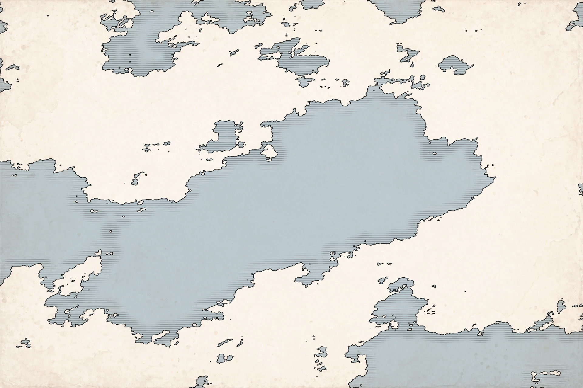
Shape Your World
Generate landmasses with procedural generation or instantly create coastlines by uploading a black-and-white landmask. Adjust climate biases and sculpt continents until the broad geography is perfect.
Read the Cartography Guide by Art Realms
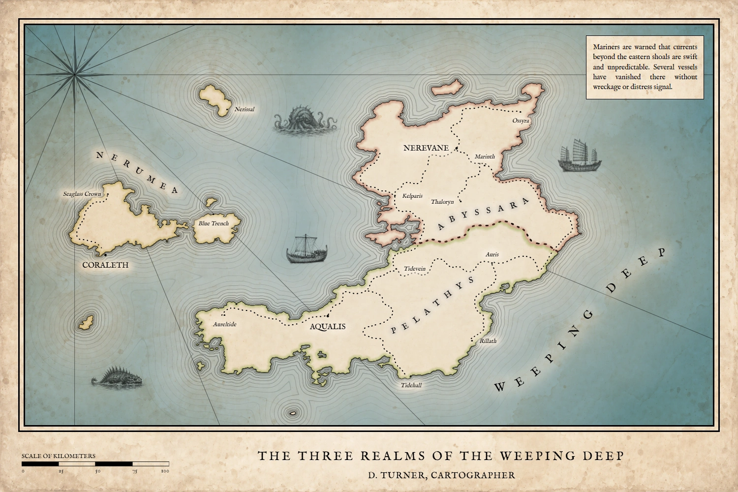
Create maps for fantasy worlds, novels, tabletop campaigns, historical settings, and real places, then keep shaping them as your world or story changes. Nova Terra brings landmass creation, labels, regions, routes, scale, travel time, styling, and print-ready export into one focused map-making workflow.
One-time payment · No subscriptions · Free updates for life
Generate realistic landmasses in seconds Expand your map in any direction Create regional maps without losing detail Define and manage built-in biomes Paint colors, textures, terrain, and regions directly Calculate travel time automatically by drawing a path Build settlements with integrated labels and worldbuilding details Draw rivers, roads, borders, and routes with artistic tools Control labels individually or restyle them all at once Restyle colors, textures, symbols, and coastlines at any time Create maps at virtually any size and export high-resolution PNGs
Editable Workflow
Nova Terra doesn't lock you into a static background image early on. Overhaul coastlines, change colors, shift settlements, tweak regional boundaries, and reroute paths any time.
Explore the generator, trace routes, and test the engine risk-free. Moving to the full version gives you complete creative freedom: unlock long-term project saving, the full high-resolution symbol collection, and unrestricted map sizes.
Everything you need to illustrate your world’s dangers and landmarks. This premium collection includes over 1,200 crisp PNG graphics: epic mountain biomes, dense woodlands, global architecture, wandering animals, frontline fighters, and massive fantasy monsters.
Examples
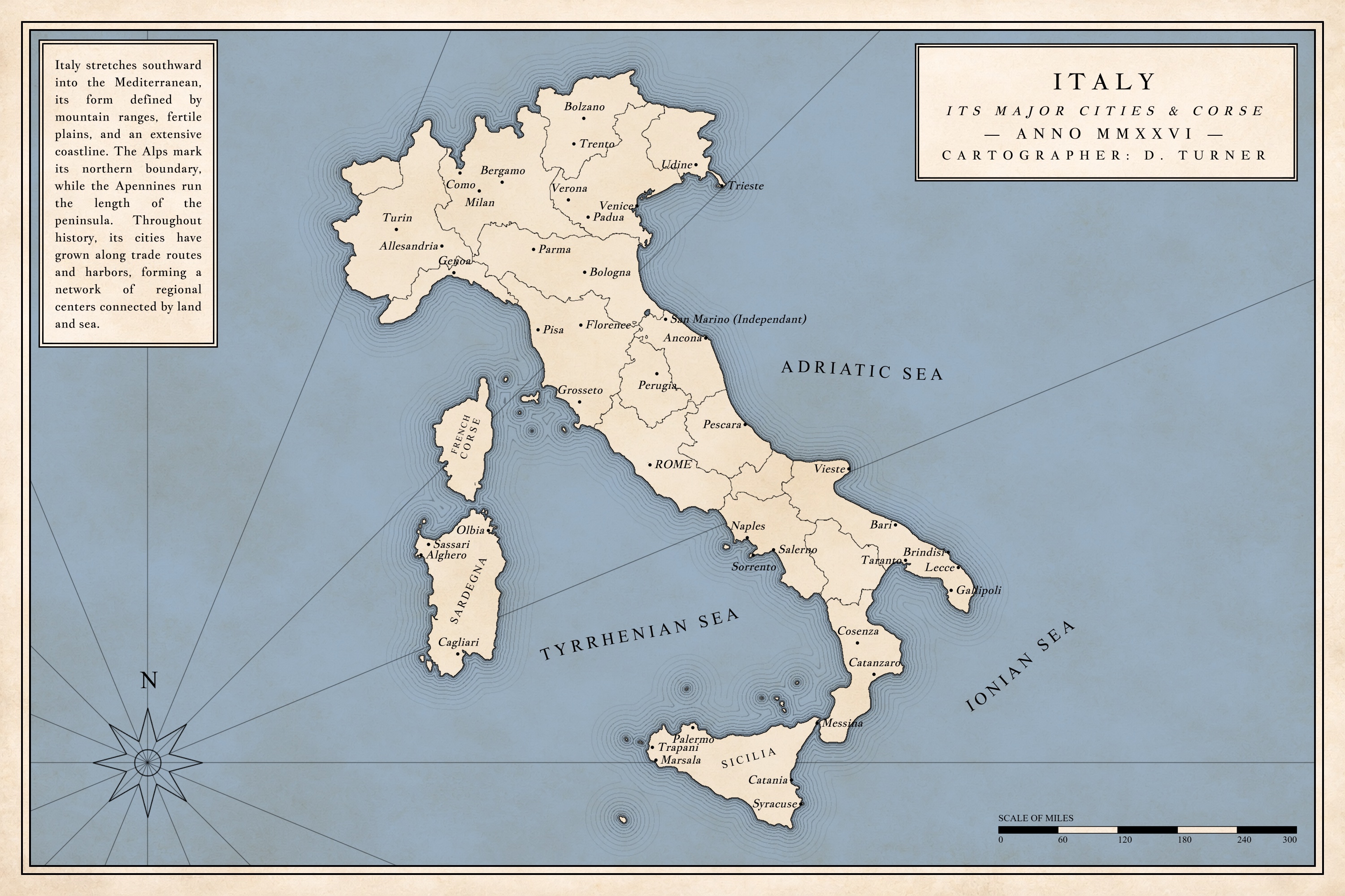
From procedural coastlines and imported landmasks to high-resolution symbols, editable routes, travel calculations, settlement lore, and print-ready atlas design, Nova Terra supports the entire mapmaking process in one workspace. Build immense fantasy worlds, real-world or novel maps, detailed campaign regions, and book-ready color or black-and-white layouts—then keep every project editable as the setting evolves.
Generate landmasses with procedural generation or instantly create coastlines by uploading a black-and-white landmask. Adjust climate biases and sculpt continents until the broad geography is perfect.
Read the Cartography Guide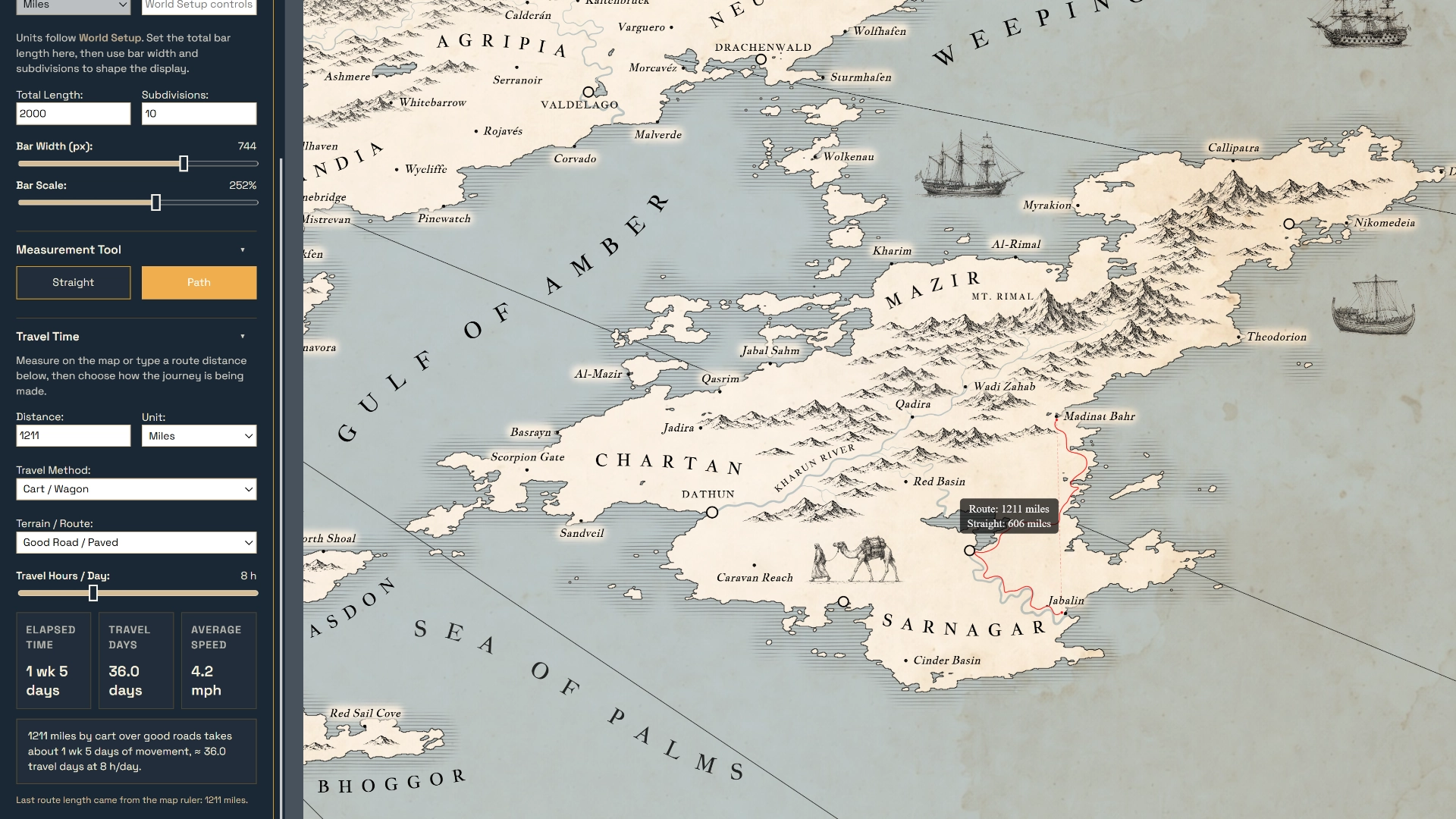
Stop guessing travel times across your map. Trace winding vector routes to instantly calculate exact distances and travel days based on your custom pacing, terrain types, and transit methods.
Read the Novel Mapping Guide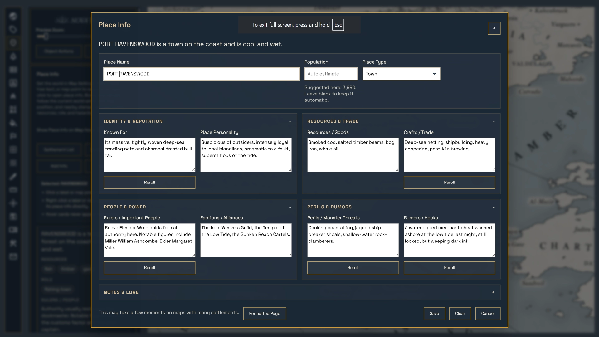
Right-click any settlement to manage an interactive lore ledger directly on the canvas. Easily track populations, ruling factions, regional resources, and active campaign hooks as your world grows.
Read the Worldbuilding Guide.webp)
Turn one master world map into a collection of editable regional maps. Zoom into any area, save it as a new project, and restyle it at full resolution without altering the original.
Read the Regional Atlas GuideInstantly shift your project from a textured, colorful art style to a classic, book-ready line-art atlas. Use color or grayscale symbols, experiment with ocean and land styles, and apply authentic paper textures to give your map a beautifully crafted, archival finish for novel publication or tabletop worldbuilding.